| Cave Falls Campground Information |
| Opens: |
Usually Memorial Day Weekend (weather dependant - may open later depending on snow) |
| Closes: |
30 September (weather dependant - may close sooner depending on snow) |
| Number of sites: |
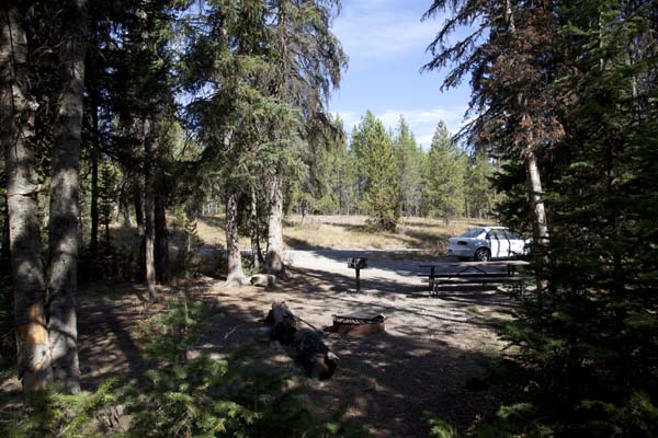
23 - for either tents or RVs - all sites are pull-through - no tent pads |
| Fees: |
$ 12.00 per day - $ 6.00 for Access and Senior Passes |
| Reservations: |
No |
| Maximum Stay: |
16 days |
| Group sites: |
None |
| Elevation: |
6,200 feet / 1890 meters |
| Pit toilets: |
3 - Handicapped Accessible  |
| Flush toilets: |
No |
| Showers: |
No |
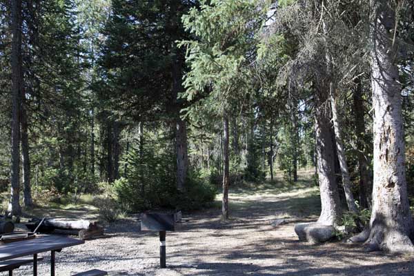
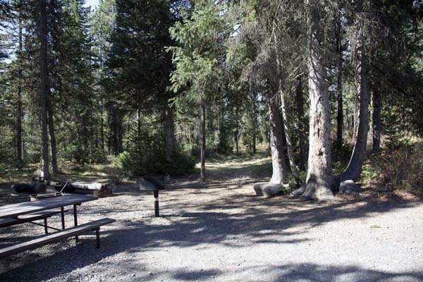
| Picnic Area: |
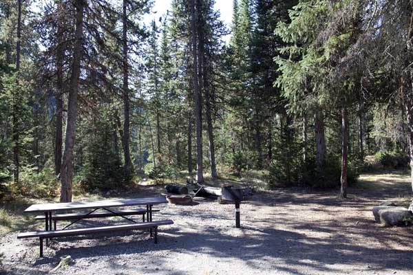
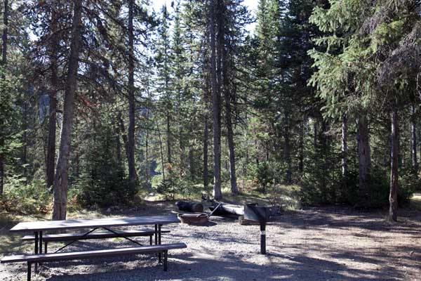
Yes - 3 grills and 2 picnic tables |
| Water |
Yes - only one water access point, a centrally located artesian well (when campground is open during the regular season) |
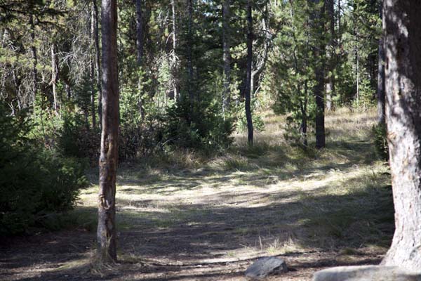
| Wooded sites: |
Yes - all are wooded |
| Picnic Tables: |
Yes - in all camp sites |
| Grills: |
Yes - in all camp sites |
| Fire pits / rings: |
Yes - in all camp sites |
| Bear Proof Storage Boxes: |
Yes - shared containers |
| Trash bins: |
Yes - located throughout the campground |
| RV Dump Station: |
No. The closest RV dump station is located at the Ashton Idaho Visitor Center. The fee is $3.00. |
| Hiking Trails: |
Yes - numerous in Yellowstone and outside the park |
| Fishing: |
Yes - Yellowstone and/or Wyoming permit required - Brown, Cutthroat, and Rainbow trout |
| RV Comments: |
The camp sites pull-through parking areas are grass and gravel, and are narrow and small in some cases. |
| Nearest Town: |
Ashton, Idaho |
| Directions: |
From Highway 20 at Ashton, Idaho, access the Mesa Falls Scenic Byway (Idaho State Road 47). Follow Idaho State Road 47 for about six miles to the Yellowstone National Park / Cave Falls sign. Take a right onto this road and continue to the campground. The campground entrance road will be on your right. Cave Falls Campground is 23 miles from Ashton, Idaho, 11 of which are on a good gravel road. |
| General Comments: |
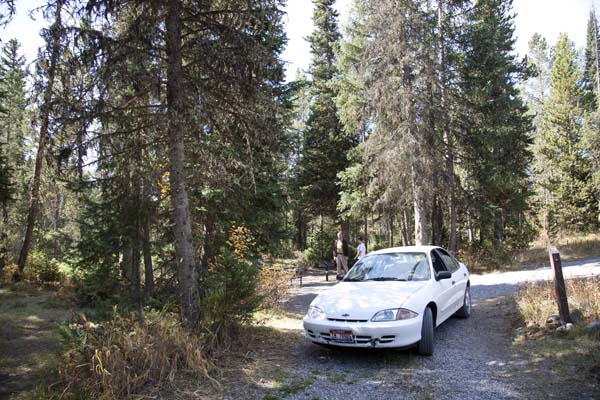
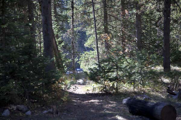
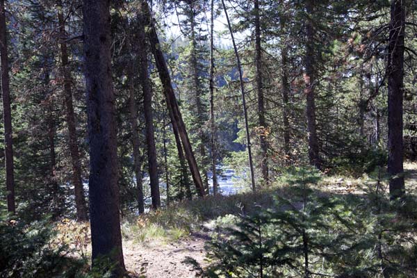
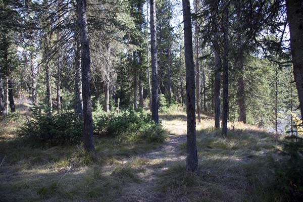
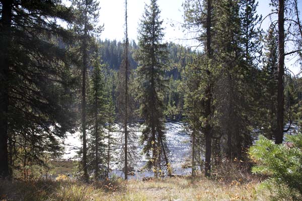
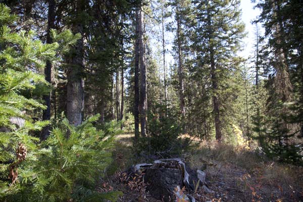
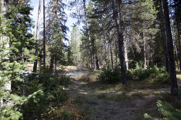
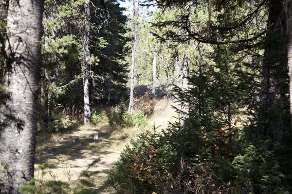
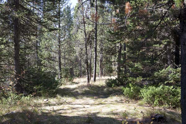
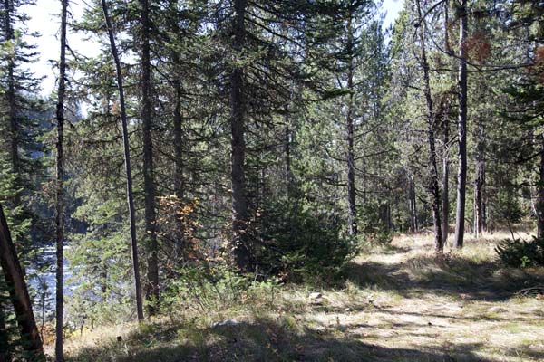
Cave Falls campground is located in Wyoming. The campground is adjacent to Yellowstone National Park and Winegar Hole Wilderness. This campground is situated along the Falls River in a mixture brush, grass, lodgepole pine and other conifer trees. This is bear country, all food must be stored in bear proof containers or vehicles. The scenic area of Cave Falls is about a mile from campground and located in Yellowstone National Park. Vehicle access to Yellowstone National Park (except to the Bechler Ranger Station and Cave Falls), is very limited. This area is known for and utilized mainly by backcountry hikers and campers. There is no vehicle access to the rest of Yellowstone National Park from this area. The easiest, and fastest access to Yellowstone is via US Highway 20 West to the West Entrance at West Yellowstone, Montana. The South Entrance of Yellowstone National Park is 53 miles east of the Bechler Ranger Station via a narrow not well maintained seasonal dirt road - Forest Service Road 261 to US Highway 89. This road is a backcountry or wilderness single lane dirt road. You will need a full tank of gas, a spare tire and tools, and water. If you decide to take this road, plan on at least a two hour drive. This road is NOT recommended for low clearance vehicles or RVs, four wheel drive is recommended. A map is available from the Bechler Ranger Station or the Ashton-Island Park Ranger District Office in Ashton, Idaho. |