
Bridge Bay Campground
Yellowstone National Park
* * Bridge Bay Campgrounds - Reservations are through Yellowstone Lodges. * *
Bridge Bay Campground Map
Yellowstone National Park
 |
Bridge Bay Campground Map - Yellowstone National Park
GPS Coordinates to Bridge Bay Campground Entrance Road: 44°32'05.25" N / 110°26'03.48" W
Bridge Bay Campground Map (pdf file - printable on 11" x 8.5")
| Bridge Bay Campground | |||||||||
|---|---|---|---|---|---|---|---|---|---|
| Open | Close | Sites | S/L | Toilet | D/S | Gen | Elev | Res | Fee |
| 17 May | 01 Sep | 431 | No | Flush | Yes | Yes | 7,800 | Yes | $33 |
S/L = Shower/Laundry ~ D/S = Dump Station ~ Gen = Generator (8:00 AM - 8:00 PM)
Res = Reservations ~ * = Rate Does NOT include Taxes and Fees
Fishing Bridge will accommodate an 18 foot truck and a 35 foot trailer side by side.
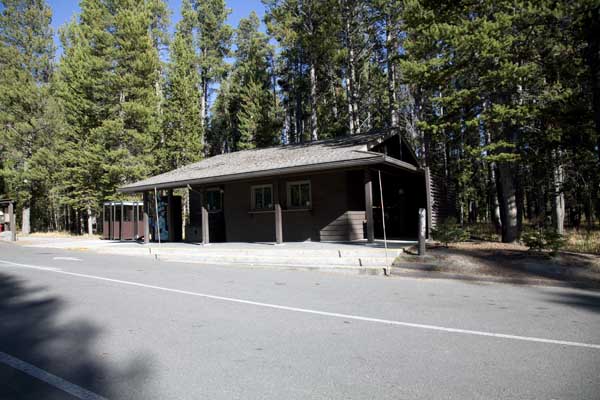
# # Showers and Laundry for Bridge Bay are located at Fishing Bridge. # #
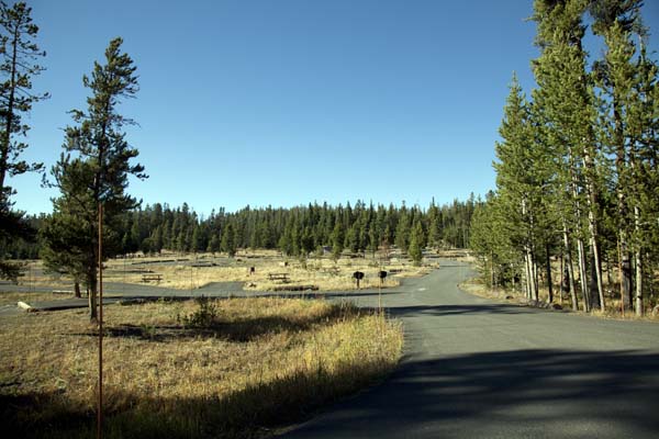
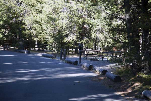
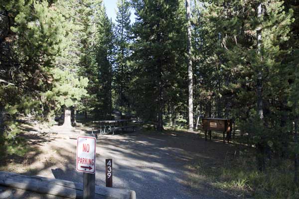
Bridge Bay Campground
Lower Section
 |
 |
 |
 |
 |
 |
 |
 |
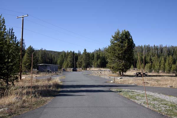
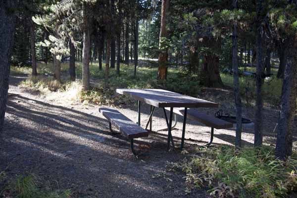
| These pictures are of the Lower Section of Bridge Bay Campground - Loops A, B, C and D on the map above. This area is open with a few trees and is a great area for RVs, truck campers, and 5th wheels. This area will also accommodate tents, but you have to be aware that the wind picks up every afternoon coming off the lake and has strong enough gusts to blow down tents and break tent poles. If you have a good wind resistant tent and leave it staked down and ready for wind and rain, you will be ok. The upper section is more wooded and is more of a natural wind break and much more tent friendly. The pictures below are of the upper section and the biker / hiker section. |
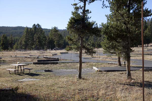
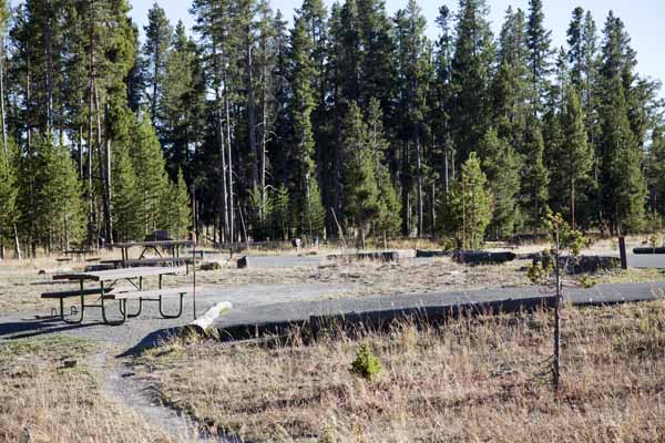
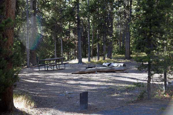
Bridge Bay Campground
Upper Section
 |
 |
 |
 |
 |
 |
 |
 |
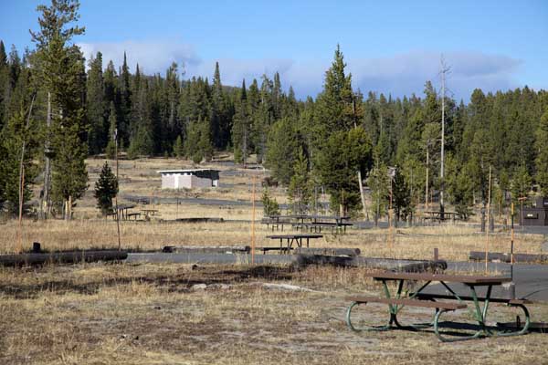
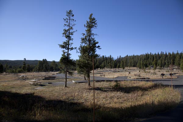
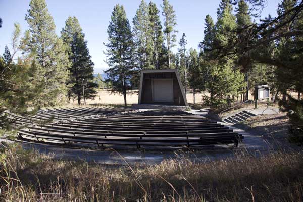
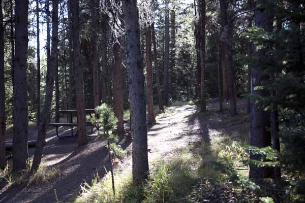
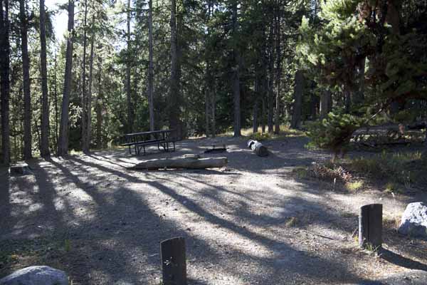
| These pictures are of the Upper Section of Bridge Bay Campground - Loops E, F, G, H, I, and J on the map above. This area is in the trees and forest. This area is much more tent friendly. You will still need a good wind resistant tent and leave it staked down and ready for wind and rain. Because of the trees, the wind does not get as strong and they are a natural wind break. The pictures above are of the biker / hiker section. This Upper Section area will accommodate all sizes of tents up to larger family tents. There is also a parking area for this section and the amphitheater. This area is just above the amphitheater. |
* * * Cave Falls Campground * * *
a US Forest Service Campground just outside the southwest corner of Yellowstone not too far from the Bechler Ranger Station and Cave Falls.
| Yellowstone National Park Milage | ||||||
|---|---|---|---|---|---|---|
| Canyon | Grant | Lake | Mammoth | Old Faithful | Roosevelt | |
| Canyon | -- | 40 | 17 | 33 | 42 | 19 |
| Grant | 40 | -- | 24 | 73 | 19 | 59 |
| Lake | 17 | 24 | -- | 49 | 38 | 36 |
| Mammoth | 33 | 73 | 49 | -- | 51 | 18 |
| Old Faithful | 42 | 19 | 38 | 51 | -- | 61 |
| Roosevelt | 19 | 59 | 36 | 18 | 61 | -- |
Milage Chart from Gardiner, Montana
Yellowstone National Park's North Entrance
| North Entrance at Gardiner, Montana | Less than a mile |
| Mammoth Hot Springs | 5 miles |
| Tower | 23 miles |
| Norris Geyser Basin | 26 miles |
| Canyon | 38 miles |
| Madison | 40 miles |
| Northeast Entrance | 52 miles |
| Silver Gate, Montana | 53 miles |
| West Entrance | 54 miles |
| West Yellowstone, Montana | 54 miles |
| Yellowstone Lake | 54 miles |
| Old Faithful | 56 miles |
| Cooke City, Montana | 56 miles |
| West Thumb | 73 miles |
| East Entrance | 81 miles |
| South Entrance | 95 miles |
| Cody, Wyoming | 134 miles |
| Jackson Hole, Wyoming | 160 miles |


| Yellowstone National Park WebCams | |||
|---|---|---|---|
| Old Faithful Live | All Old Faithful | Old Faithful Static | Old Faithful VC |
| North Entrance | Mt Washburn | Mammoth | YVO WebCam |
| Entrance Cities and Gateway Towns | |||
|---|---|---|---|
| Gardiner, Montana | Silver Gate, Montana | West Yellowstone, Montana | Cooke City, Montana |
| Livingston, Montana | Cody, Wyoming | Jackson Hole, Wyoming | Yellowstone National Park |

| Links | |
|---|---|
| The Great Outdoors Net | Great Outdoor Recreational Places |
| Gardiner, Montana | West Yellowstone, Montana |
 |  |