
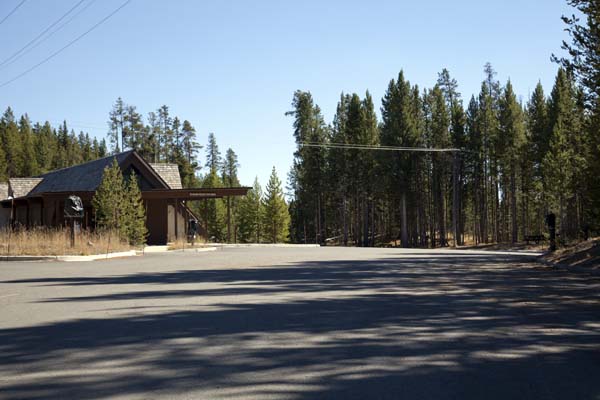
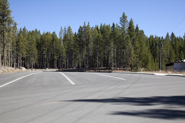
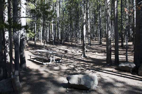
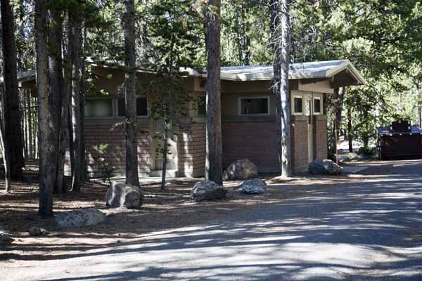
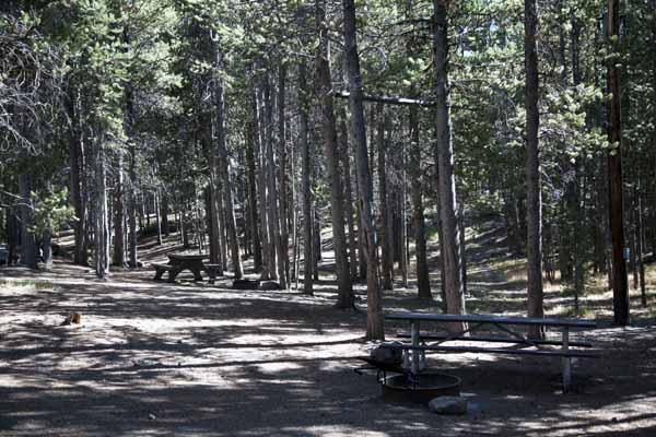
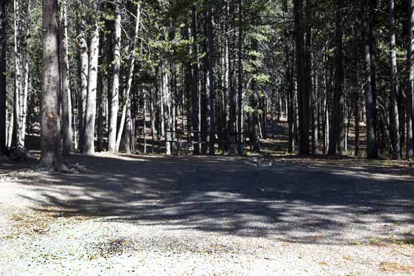
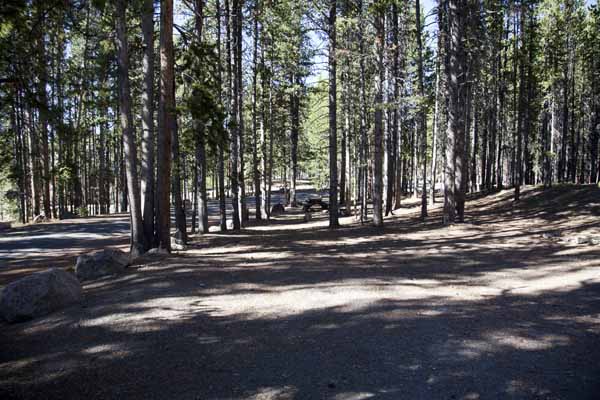
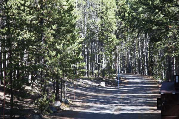
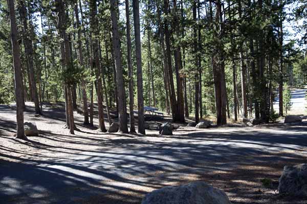
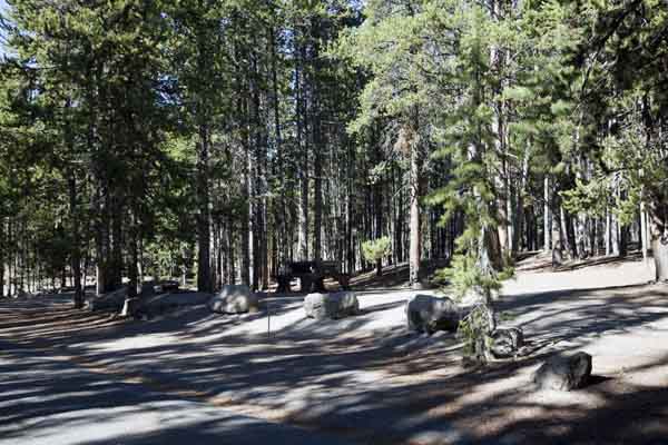
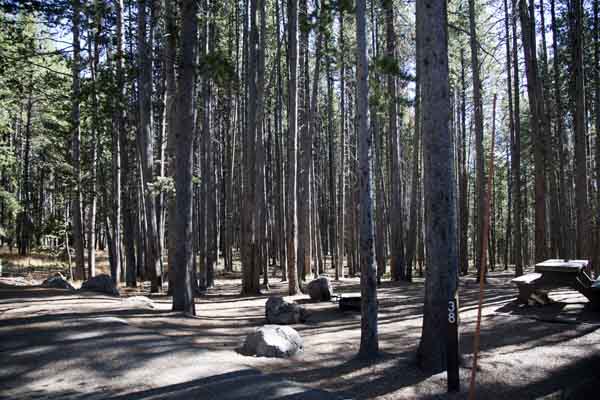
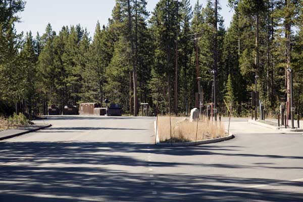
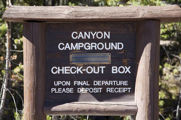
Canyon Campground
Yellowstone National Park
* * Canyon Campgrounds - Reservations are through Yellowstone Lodges. * *
Canyon Campground Map ~ Yellowstone National Park
 |
Canyon Campground Map - Yellowstone National Park
GPS Coordinates to Canyon Campground Entrance Road: 44°44'08.03" N / 110°29'21.84" W
| Canyon Campground Information | |||||||||
|---|---|---|---|---|---|---|---|---|---|
| Open | Close | Sites | S/L | Toilet | D/S | Gen | Elev | Res | Fee |
| 29 May | 19 Sep | 272 | Yes | Flush | No | Yes | 7,900 | Yes | $ 45* |
S/L = Shower/Laundry ~ D/S = Dump Station ~ Gen = Generator (8:00 AM - 8:00 PM)
Res = Reservations ~ * = Rate Does NOT include Taxes and Fees
Fishing Bridge will accommodate an 18 foot truck and a 35 foot trailer side by side.
# # Showers and Laundry for Bridge Bay are located at Fishing Bridge. # #
Canyon Campground Map (pdf file - printable on 8.5" x 11")
Canyon Campground
 |
 |
 |
 |
 |
 |
 |
 |
 |
 |
 |
 |
 |
 |
 |
 |
* * * Cave Falls Campground * * *
a US Forest Service Campground just outside the southwest corner of Yellowstone not too far from the Bechler Ranger Station and Cave Falls.
| Yellowstone National Park Milage | ||||||
|---|---|---|---|---|---|---|
| Canyon | Grant | Lake | Mammoth | Old Faithful | Roosevelt | |
| Canyon | -- | 40 | 17 | 33 | 42 | 19 |
| Grant | 40 | -- | 24 | 73 | 19 | 59 |
| Lake | 17 | 24 | -- | 49 | 38 | 36 |
| Mammoth | 33 | 73 | 49 | -- | 51 | 18 |
| Old Faithful | 42 | 19 | 38 | 51 | -- | 61 |
| Roosevelt | 19 | 59 | 36 | 18 | 61 | -- |
Milage Chart from Gardiner, Montana
Yellowstone National Park's North Entrance
| North Entrance at Gardiner, Montana | Less than a mile |
| Mammoth Hot Springs | 5 miles |
| Tower | 23 miles |
| Norris Geyser Basin | 26 miles |
| Canyon | 38 miles |
| Madison | 40 miles |
| Northeast Entrance | 52 miles |
| Silver Gate, Montana | 53 miles |
| West Entrance | 54 miles |
| West Yellowstone, Montana | 54 miles |
| Yellowstone Lake | 54 miles |
| Old Faithful | 56 miles |
| Cooke City, Montana | 56 miles |
| West Thumb | 73 miles |
| East Entrance | 81 miles |
| South Entrance | 95 miles |
| Cody, Wyoming | 134 miles |
| Jackson Hole, Wyoming | 160 miles |


| Yellowstone National Park WebCams | |||
|---|---|---|---|
| Old Faithful Live | All Old Faithful | Old Faithful Static | Old Faithful VC |
| North Entrance | Mt Washburn | Mammoth | YVO WebCam |
| Entrance Cities and Gateway Towns | |||
|---|---|---|---|
| Gardiner, Montana | Silver Gate, Montana | West Yellowstone, Montana | Cooke City, Montana |
| Livingston, Montana | Cody, Wyoming | Jackson Hole, Wyoming | Yellowstone National Park |

| Links | |
|---|---|
| The Great Outdoors Net | Great Outdoor Recreational Places |
| Gardiner, Montana | West Yellowstone, Montana |
 |  |