
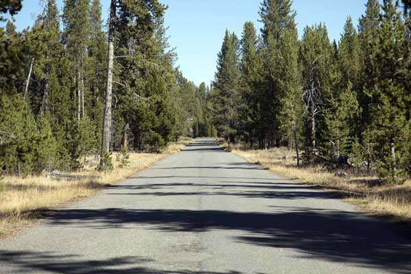
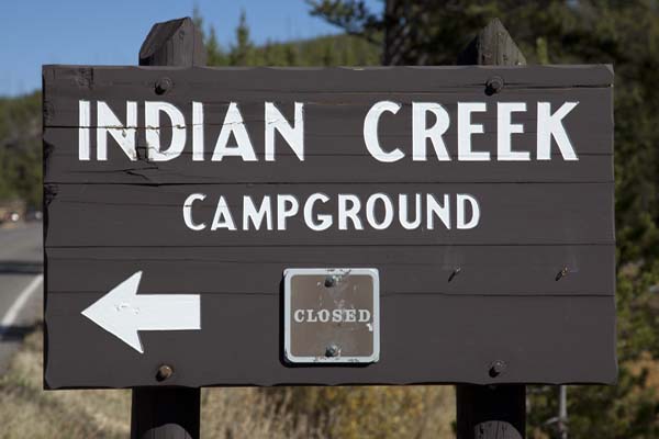
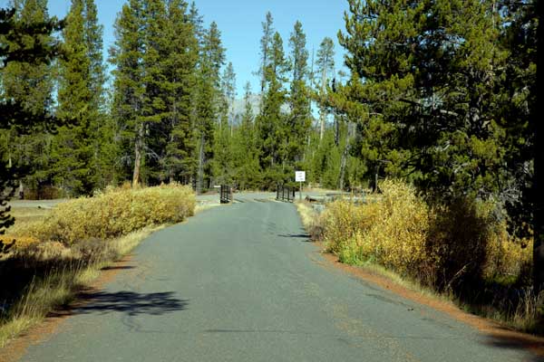
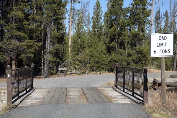
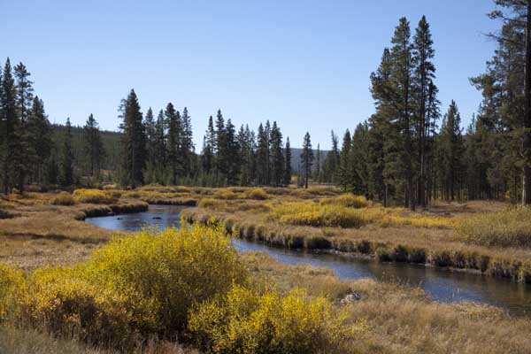
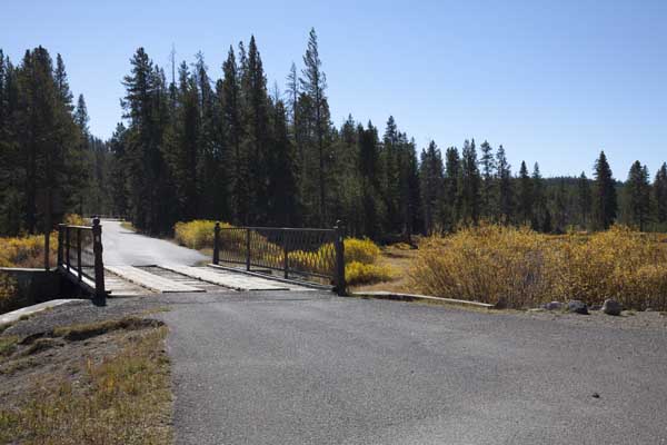
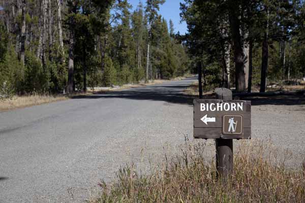
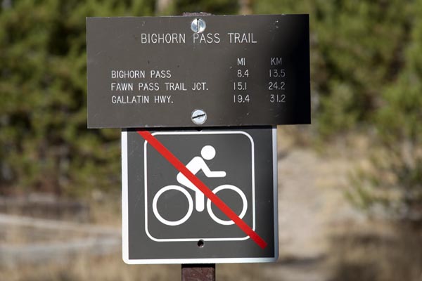
Indian Creek Campground
Yellowstone National Park
* * Indian Creek Reservations through Recreation.gov. * *
Indian Creek Campground Map
 |
GPS Coordinates to Indian Creek Campground Entrance Road: 44°52'51.08" N / 110°44'02.61" W
Indian Creek Campground Map (pdf file - printable on 8.5" x 11")
| Indian Creek Campground | |||||||||
|---|---|---|---|---|---|---|---|---|---|
| Open | Close | Sites | S/L | Toilet | D/S | Gen | Elev | Res | Fee |
| 12 Jun | 14 Sep | 70 | No | Pit | No | No | 7,300 | Yes | $ 20 |
Indian Creek - Reservations through Recreation.gov.
S/L = Shower/Laundry ~ D/S = Dump Station ~ Gen = Generator (8:00 AM - 8:00 PM)
Res = Reservations ~ * = Rate Does NOT include Taxes and Fees
Indian Creek RV sites: 10 sites for 40 feet ~ 35 sites for 30 feet (pull-throughs)
Vehicle and trailer length - 40 feet Bridge Bay, Canyon, Grant Village, and Madison
Fishing Bridge will accommodate an 18 foot truck and a 35 foot trailer side by side.
# # Showers and Laundry for Bridge Bay are located at Fishing Bridge. # #
| Indian Creek - Evening Program | |
|---|---|
| Place | Campfire Circle - Dress warmly and bring a flashlight. |
| Title | Evening Ranger Program |
| Description | Indian Creek Evening Programs (June 18 to September 3) Join a wildlife education ranger in a beautiful wooded setting for a stimulating program about bears, wolves, or other species of Yellowstone's diverse wildlife. Inquire locally on bulletin boards for program titles and descriptions. Meet at the Indian Creek Campground campfire circle. 45 minutes. |
| Dates | June 18th - Sep 9th |
| Time | 7:30 p.m. |
Indian Creek Campground
 |
 |
 |
 |
 |
 |
 |
 |
 |
 |
| Indian Creek Campground Information, Pictures, and Videos | |
|---|---|
| Page Two | Page Three |
* * * Cave Falls Campground * * *
a US Forest Service Campground just outside the southwest corner of Yellowstone not too far from the Bechler Ranger Station and Cave Falls.
| Yellowstone National Park Milage | ||||||
|---|---|---|---|---|---|---|
| Canyon | Grant | Lake | Mammoth | Old Faithful | Roosevelt | |
| Canyon | -- | 40 | 17 | 33 | 42 | 19 |
| Grant | 40 | -- | 24 | 73 | 19 | 59 |
| Lake | 17 | 24 | -- | 49 | 38 | 36 |
| Mammoth | 33 | 73 | 49 | -- | 51 | 18 |
| Old Faithful | 42 | 19 | 38 | 51 | -- | 61 |
| Roosevelt | 19 | 59 | 36 | 18 | 61 | -- |
Milage Chart from Gardiner, Montana
Yellowstone National Park's North Entrance
| North Entrance at Gardiner, Montana | Less than a mile |
| Mammoth Hot Springs | 5 miles |
| Tower | 23 miles |
| Norris Geyser Basin | 26 miles |
| Canyon | 38 miles |
| Madison | 40 miles |
| Northeast Entrance | 52 miles |
| Silver Gate, Montana | 53 miles |
| West Entrance | 54 miles |
| West Yellowstone, Montana | 54 miles |
| Yellowstone Lake | 54 miles |
| Old Faithful | 56 miles |
| Cooke City, Montana | 56 miles |
| West Thumb | 73 miles |
| East Entrance | 81 miles |
| South Entrance | 95 miles |
| Cody, Wyoming | 134 miles |
| Jackson Hole, Wyoming | 160 miles |
* * * Cave Falls Campground * * *
a US Forest Service Campground just outside the southwest corner of Yellowstone not too far from the Bechler Ranger Station and Cave Falls.


| Yellowstone National Park WebCams | |||
|---|---|---|---|
| Old Faithful Live | All Old Faithful | Old Faithful Static | Old Faithful VC |
| North Entrance | Mt Washburn | Mammoth | YVO WebCam |
| Entrance Cities and Gateway Towns | |||
|---|---|---|---|
| Gardiner, Montana | Silver Gate, Montana | West Yellowstone, Montana | Cooke City, Montana |
| Livingston, Montana | Cody, Wyoming | Jackson Hole, Wyoming | Yellowstone National Park |

| Links | |
|---|---|
| The Great Outdoors Net | Great Outdoor Recreational Places |
| Gardiner, Montana | West Yellowstone, Montana |
 |  |